

John Ghiorse: This Could Be an Epic Storm
John Ghiorse, GoLocalProv Meteorologist
John Ghiorse: This Could Be an Epic Storm
“Blizzard of '15”
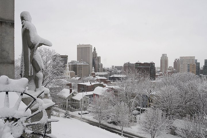
It has taken a while but winter is finally getting underway … BIG TIME! Yesterday's few inches were just a prelude to what appears to be one of the biggest and most intense snowstorms in recent years. Of course, the storm has not yet formed but most all of the indicators and forecast models consistently have been pointing to it for a couple of days now.
GET THE LATEST BREAKING NEWS HERE -- SIGN UP FOR GOLOCAL FREE DAILY EBLAST
The National Weather Service has already posted a Blizzard Watch for our area. A Blizzard is defined as a storm that produces blowing and falling snow that reduces visibility to ¼ or less with sustained or frequent wind gusts of 35mph or greater for a period of 3 hours or longer. On the face of it, this storm certainly qualifies.
Snow should begin on our area late tomorrow become heavy overnight and continue through Tuesday, possibly not ending until sometime early Wednesday. New data coming in over the next 24 hours will help me to fill in more details but at this point all Southeastern New Englanders should prepare for a storm that will paralyze travel and, indeed, cause major life-style disruptions for just about all of us.
Top 10 Blizzards in RI History

10. Blizzard of 2010
Max Accumulation: Approximately 13"
December 26-27, 2010
This winter storm brought more than a foot of snow to several parts of Rhode Island, including 13 inches in Woonsocket.

9. Blizzard of 2003
Max Accumulation: Approximately 15"
February 14-19, 2013
Know as the President’s Day Storm II, this blizzard brought roughly 15 inches to Ocean State.

8. Blizzard of 2009
Max Accumulation: Approximately 16"
December 16-20, 2009
Blizzard warnings were in effect in southern Rhode Island when this storm hit just before Christmas 2009.

7. April Fool's Day Blizzard
Max Accumulation: Approximately 18"
March 30 to April 1, 1997
This blizzard was no joke when it dropped 18 inches of snow in Providence.

6. 1969 Nor’easter
Max Accumulation: Approximately 20"
February 8-10, 1969
This storm blanketed many parts of Rhode Island with upwards of 20 inches of snow.

5. Great Blizzard of 1888
Max Accumulation: Approximately 20"
March 11-14, 1888
One of the most severe recorded blizzards in the history of the United States, this superstorm dumped 20 inches in Kingston.

4. Blizzard of 1996
Max Accumulation: Approximately 23"
Jan. 6-10, 1996
One of two blizzards to receive an “extreme” rating on the Northeast Snowfall Impact Scale, this storm blanketing parts of Rhode Island with upwards of 23 inches of snow.

3. Blizzard of 2005
Max Accumulation: Approximately 23.5"
January 20-23, 2005
This three-day storm delivered more nearly two feet of snow to some parts of Rhode Island.

2. Winter Storm Nemo
Max Accumulation: Approximately 24"
February 7-18, 2013
About 180,000 RI homes and businesses lost power during this powerful blizzard.

1. Blizzard of 1978
Max Accumulation: Approximately 38"
February 5-7, 1978
This historic nor’easter, which claimed the lives of 26 Rhode Islanders, brought a record-breaking 27.6 inches of snow to Providence and 38 inches to Woonsocket.


