

NEW: Ghiorse - Son of Sandy on the Way to New England
John Ghiorse, GoLocalProv Meterologist
NEW: Ghiorse - Son of Sandy on the Way to New England
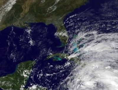
This is just what storm-ravaged areas of the northeast don’t need … another large and potentially destructive storm. This one, perhaps some will dub the Son of Sandy, will not be quite so intense or devastating but nonetheless will cause significant coastal problems and perhaps a small preview of winter at some inland locations.
This storm will not have the tropical connection that boosted Sandy to super-storm status but instead will be a powerful garden-variety northeaster not unusual from this time of year through the winter months. The storm will begin to develop tonight off the coast of the Carolinas, move toward New England tomorrow and slowly pass the region by Thursday later afternoon.
The air around at the outset tomorrow is cold enough to produce some wet snow mixed with rain for many of us and perhaps even a couple of slushy inches over higher terrain of northwest Rhode Island and central Massachusetts. Sheets of rain and northeast winds will pick up later tomorrow and tomorrow night into Thursday morning, gusting over 50 mph inland a perhaps to 60mph in a few gusts along the coast. Scattered power outages are not out of the realm of possibility. Tides may run 2-4 feet above normal especially early Thursday morning around the 2 am high tide. Once again significant beach erosion could occur leading to coastal flooding much less significant than occurred during Sandy.
As more data comes in the track of the storm center may adjust some so I will keep you posted on any updates.