

Snow Accumulations of 3" to 5" in Providence Expected as New Winter Weather Advisory Issued
GoLocalProv News Team
Snow Accumulations of 3" to 5" in Providence Expected as New Winter Weather Advisory Issued
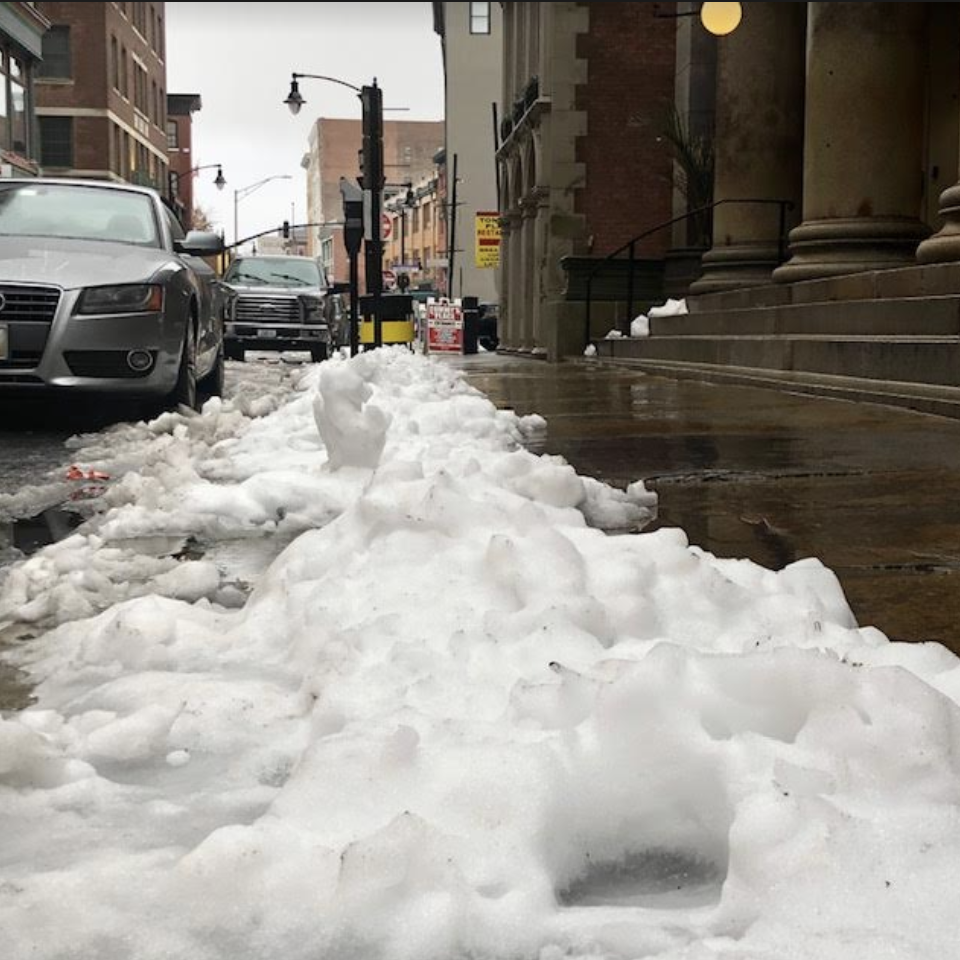
According to the latest advisory issued by NWS, a total of 3 to 5 inches of total snow accumulation is possible between 7 PM on Monday and 1 PM on Tuesday.
Providence announced Monday afternoon that schools will be closed Tuesday.
GET THE LATEST BREAKING NEWS HERE -- SIGN UP FOR GOLOCAL FREE DAILY EBLASTGoLocal meteorologist John Ghiorse provided the following updated Monday afternoon:
Ghiorse Update
"As this long duration storm begins consolidate east of Cape Cod this evening, colder air just to our north will return to Rhode Island. Gradually any rain will change over to snow and begin to accumulate. The snow will vary in intensity through the night into tomorrow morning, so the morning commute should be impacted. A few inches should accumulate, say 3”-5”, so I am not expecting a blockbuster.
Conditions should improve slowly through the day tomorrow as the storm center moves off into the Gulf of Maine and beyond."
Monday's Latest NWS Winter Weather Message
URGENT - WINTER WEATHER MESSAGE
National Weather Service Boston/Norton MA
1101 AM EST Mon Dec 2 2019
MAZ017>021-RIZ002>007-030000-
/O.CON.KBOX.WW.Y.0024.191203T0000Z-191203T1800Z/
Northern Bristol MA-Western Plymouth MA-Eastern Plymouth MA-
Southern Bristol MA-Southern Plymouth MA-Southeast Providence RI-
Western Kent RI-Eastern Kent RI-Bristol RI-Washington RI-
Newport RI-
Including the cities of Taunton, Brockton, Plymouth, Fall River,
New Bedford, Mattapoisett, Providence, Coventry, West Greenwich,
East Greenwich, Warwick, West Warwick, Bristol, Narragansett,
Westerly, and Newport
1101 AM EST Mon Dec 2 2019
...WINTER WEATHER ADVISORY REMAINS IN EFFECT FROM 7 PM THIS
EVENING TO 1 PM EST TUESDAY...
* WHAT...Snow expected. Total snow accumulations of 3 to 5
inches. Winds gusting as high as 40 mph.
* WHERE...Portions of southeastern Massachusetts and all of
Rhode Island except for Block Island.
* WHEN...From 7 PM this evening to 1 PM EST Tuesday.
* IMPACTS...Plan on slippery road conditions. The hazardous
conditions will likely impact the evening and morning
commutes.
PRECAUTIONARY/PREPAREDNESS ACTIONS...
Slow down and use caution while traveling.