Ghiorse: Saturday Afternoon Storm Update
Saturday, February 14, 2015
John Ghiorse, GoLocalProv Meteorologist
 View Larger +
GoLocalProv Meteorologist John Ghiorse
Everything is pretty much on track from my earlier update yesterday. A weak low centered near Lake Huron this morning will reform south of Rhode Island tonight and "bomb out" east of Cape Cod early tomorrow.
Light snow should over spread the area today, mainly this afternoon and become heavy later tonight into tomorrow as the storm intensifies. This continues to be a tricky accumulation forecast since the location of the storm center intensification is critical. A variation of 50 miles one way or the other can mean much higher or lower amounts in various locations. My best estimate for the Providence and Worcester areas continues to be 6-12 inches with more, say up to 15 inches, east of Rhode Island and less, perhaps 4-8 inches, to the west. Considerable drifting and blowing snow plus snow already on the ground from previous storms will make accurate measurements difficult. The storm should gradually wind down tomorrow afternoon but more brutal cold will follow as temperatures plunge to zero or below Sunday night along with very dangerous wind chills.
This winter is not going to relax its grip anytime soon as yet another storm seems likely to affect the area by mid-week. There is no sign that a major warm-up is in the cards either.
GET THE LATEST BREAKING NEWS HERE -- SIGN UP FOR GOLOCAL FREE DAILY EBLAST
Related Slideshow: Top 10 Blizzards in RI History
 View Larger +
Prev
Next
10. Blizzard of 2010
Max Accumulation: Approximately 13"
December 26-27, 2010
This winter storm brought more than a foot of snow to several parts of Rhode Island, including 13 inches in Woonsocket.
.png) View Larger +
View Larger +
Prev
Next
9. Blizzard of 2003
Max Accumulation: Approximately 15"
February 14-19, 2013
Know as the President’s Day Storm II, this blizzard brought roughly 15 inches to Ocean State.
 View Larger +
Prev
Next
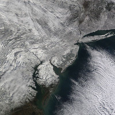
8. Blizzard of 2009
Max Accumulation: Approximately 16"
December 16-20, 2009
Blizzard warnings were in effect in southern Rhode Island when this storm hit just before Christmas 2009.
 View Larger +
Prev
Next
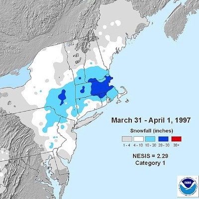
7. April Fool's Day Blizzard
Max Accumulation: Approximately 18"
March 30 to April 1, 1997
This blizzard was no joke when it dropped 18 inches of snow in Providence.
 View Larger +
Prev
Next
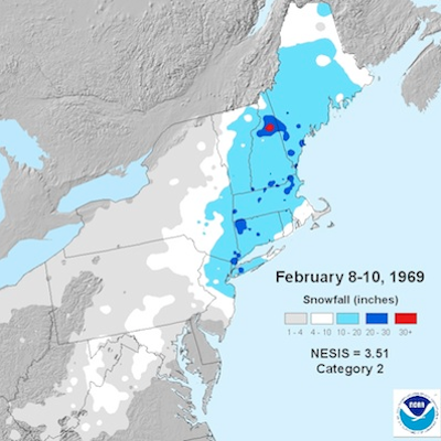
6. 1969 Nor’easter
Max Accumulation: Approximately 20"
February 8-10, 1969
This storm blanketed many parts of Rhode Island with upwards of 20 inches of snow.
 View Larger +
Prev
Next
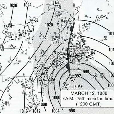
5. Great Blizzard of 1888
Max Accumulation: Approximately 20"
March 11-14, 1888
One of the most severe recorded blizzards in the history of the United States, this superstorm dumped 20 inches in Kingston.
 View Larger +
Prev
Next
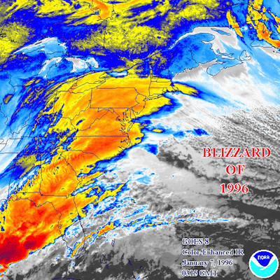
4. Blizzard of 1996
Max Accumulation: Approximately 23"
Jan. 6-10, 1996
One of two blizzards to receive an “extreme” rating on the Northeast Snowfall Impact Scale, this storm blanketing parts of Rhode Island with upwards of 23 inches of snow.
 View Larger +
Prev
Next
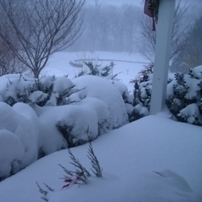
3. Blizzard of 2005
Max Accumulation: Approximately 23.5"
January 20-23, 2005
This three-day storm delivered more nearly two feet of snow to some parts of Rhode Island.
 View Larger +
Prev
Next
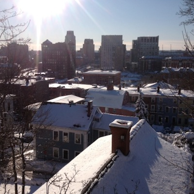
2. Winter Storm Nemo
Max Accumulation: Approximately 24"
February 7-18, 2013
About 180,000 RI homes and businesses lost power during this powerful blizzard.
 View Larger +
Prev
Next
1. Blizzard of 1978
Max Accumulation: Approximately 38"
February 5-7, 1978
This historic nor’easter, which claimed the lives of 26 Rhode Islanders, brought a record-breaking 27.6 inches of snow to Providence and 38 inches to Woonsocket.
Enjoy this post? Share it with others.


.png)


_80_80_c1.png)


