

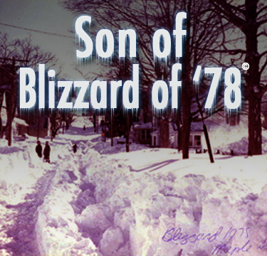
PM WEATHER UPDATE: RI's Blizzard Watch Upgraded to Warning
John Ghiorse, GoLocalProv Meteorologist
PM WEATHER UPDATE: RI's Blizzard Watch Upgraded to Warning

What's behind the blizzard
As of 5pm this Thursday evening, there are two rather weak low pressure centers on the map. One in Illinois is spreading light snow throughout most of the Great Lakes States and another centered in Georgia is causing widespread showers and thunderstorms from the Carolinas southward into Florida. These two are expected to combine into one large and rapidly strengthening storm center off the Mid-Atlantic coast during tomorrow afternoon. That storm should grow very large and intense and slow its movement to a crawl as it claws its way east of Cape Cod on Saturday. An endless supply of frigid air is banked up over the Northeast and with tropical air moving into the storm from the south, all the ingredients are present for a major, if not historic, storm for Southern New England.
High winds and feet of snow
If there is no change mix or change over to sleet and rain during part of the storm (and that seems a rather remote possibility right now), the potential exists for 2 feet or more of snow. Winds will howl out of the northeast at 30-50mph with gusts to hurricane force. That should lead to considerable flooding and coastal battering along the Eastern Massachusetts shore and over the Cape and Islands. Away from the coast expect whiteout conditions for several hours along with tree damage and ensuing power outages.
The first flakes should begin to fall along the south coast sometime tomorrow morning but the most intense part of the storm will be tomorrow night and early Saturday. I’ll have more updates and any forecast changes right here throughout the next couple of days.