

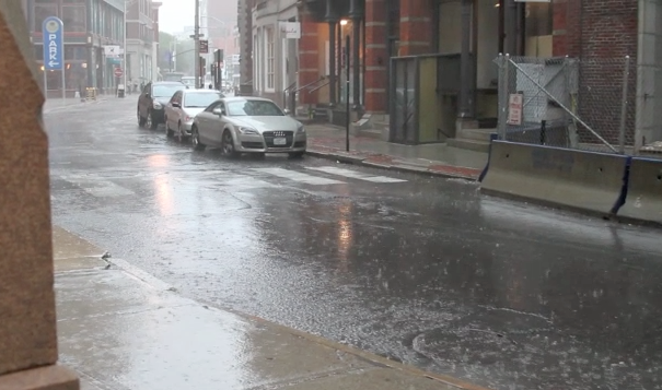
Severe Thunderstorm & Flash Flood Watches Issued for Providence
GoLocalProv News Team
Severe Thunderstorm & Flash Flood Watches Issued for Providence
“Torrential rain may result in 1 to 2 inch per hour rainfall rates with the stronger thunderstorms. This may result in localized flooding, particularly if the activity occurs over urbanized centers. Lastly...these thunderstorms are expected to contain dangerous cloud to ground lightning,” says NWS in their statement.
The warnings are in place until 10 p.m. and 11 p.m. respectively.
GET THE LATEST BREAKING NEWS HERE -- SIGN UP FOR GOLOCAL FREE DAILY EBLAST
NWS Statement
National Weather Service Boston/Norton MA
1118 AM EDT Wed Jul 17 2019
CTZ002>004-MAZ002>022-026-RIZ001>007-172000-
Hartford CT-Tolland CT-Windham CT-Western Franklin MA-
Eastern Franklin MA-Northern Worcester MA-Central Middlesex MA-
Western Essex MA-Eastern Essex MA-Western Hampshire MA-
Western Hampden MA-Eastern Hampshire MA-Eastern Hampden MA-
Southern Worcester MA-Western Norfolk MA-Southeast Middlesex MA-
Suffolk MA-Eastern Norfolk MA-Northern Bristol MA-
Western Plymouth MA-Eastern Plymouth MA-Southern Bristol MA-
Southern Plymouth MA-Barnstable MA-Northern Middlesex MA-
Northwest Providence RI-Southeast Providence RI-Western Kent RI-
Eastern Kent RI-Bristol RI-Washington RI-Newport RI-
Including the cities of Hartford, Windsor Locks, Union, Vernon,
Putnam, Willimantic, Charlemont, Greenfield, Orange, Barre,
Fitchburg, Framingham, Lowell, Lawrence, Gloucester,
Chesterfield, Blandford, Amherst, Northampton, Springfield,
Milford, Worcester, Foxborough, Norwood, Cambridge, Boston,
Quincy, Taunton, Brockton, Plymouth, Fall River, New Bedford,
Mattapoisett, Chatham, Falmouth, Provincetown, Ayer, Foster,
Smithfield, Providence, Coventry, West Greenwich, East Greenwich,
Warwick, West Warwick, Bristol, Narragansett, Westerly,
and Newport
1118 AM EDT Wed Jul 17 2019
...A FEW STRONG TO SEVERE THUNDERSTORMS ALONG WITH A LOCALIZED
FLOOD THREAT EXIST THIS AFTERNOON AND EVENING...
A cold front approaching southern New England will result in
scattered showers and thunderstorms developing around mid
afternoon persisting into the first part of the evening. A few of
the thunderstorms may become strong to severe and produce
isolated/localized wind damage. In addition...torrential rain may
result in 1 to 2 inch per hour rainfall rates with the stronger
thunderstorms. This may result in localized flooding, particularly
if the activity occurs over urbanized centers. Lastly...these
thunderstorms are expected to contain dangerous cloud to ground
lightning.
Please keep an eye and if you have outdoor plans be prepared to
seek an indoor shelter if threatening weather approaches.