
video: The Skiing Weatherman Conditions Report: January 23-26
Thursday, January 23, 2014
As we pass by the MLK mile marker on the highway of the winter sports season in the Northeast, we are about to enter a two-week period that will be decidedly in favor of those of us who favor cold and snow. The upper air pattern over North America and the adjacent waters of the Pacific and Atlantic is in the process of reverting to the configuration that has been favored much of this winter…a western jet stream ridge and an eastern upper level trough. The eastern trough is strengthening early this week as it becomes a more and more inviting receptacle for deliveries of arctic air. A surface cold front is now cutting southward through the Northeast, and as it continues to press toward the mid-Atlantic region tonight, much colder air will follow the frontal passage. At the same time, low pressure will move along the boundary from west to east and generate a windblown moderate snowfall. Unfortunately, the track of the storm will be to the south of New England, and due to the relatively small size of the disturbance, it will not be able to reach northern New England’s resorts with much of its’ snowfall. Although small, the storm will have a good deal of energy….enough to produce a solid 3 to 6 inch snowfall across Pennsylvania, New Jersey, metro New York, the I-95 corridor down to D.C. and along the shore of southern New England, but the track of this one just isn’t going to work out for resorts further north…it does look very promising for Yawgoo Valley, where you can likely enjoy a powder day/night later Tuesday/Wednesday. Two other “best bets” close to home are Wachusett and Nashoba Valley…they are likely to see only light amounts out of Tuesday’s event, but they picked up 6 inches of new snow on Saturday. The arrival of the arctic front will trigger numerous snow showers and a few heavier squalls later today and tonight, and that modest accumulation will help the snowmakers as they get back to work, as they take advantage of the influx of pure arctic air.

Something to look forward to
While a major snowfall has not occurred in a few weeks now, light snow was fairly persistent over the mountains this past weekend, and slowly but surely the surfaces have been softening up. The snowmaking that gets underway later today will be going 24/7 this week, so you can look forward to packed powder surfaces becoming more prevalent as the next few days unfold. Now, I realize that skiers and riders know how to prepare themselves for low wind chill values, and I will not belabor the point, but if you are headed out to the slopes through the middle of this week, you will be well advised to wear an extra layer and make sure you have a neck gator or scarf to keep you warm. If you are sliding with a friend, be sure to check one another for those white spots of frostbite on cheeks and noses after every run. The snow will be getting better each day…dress properly and take advantage of the smaller midweek crowds.
One of the more frustrating weather setups for skiers and riders in New England occurs when cold air is abundant but the same cold air acts to suppress the storm track too far to the south to deliver the goods to our favorite resorts…a classic case of “too much of a good thing”. Over the next ten days or so we are going to find ourselves in that set-up much of the time…covered by arctic air but with a northwesterly flow aloft. The temps should ease off to near normal levels this weekend, but a reinforcing shot of very cold air is going to arrive early next week, and the renewed northwesterly flow will tend to keep the storm track over the mid-Atlantic region…perhaps reaching southern New England. While it will be tough for a coastal storm to penetrate the cold and spread heavy snow across the North Country, we will continue to see small scale disturbances embedded in the flow around the big trough, and those systems will generate light snowfalls from time to time. So, instead of Mother Nature giving us the haymaker that we all desire, we are much more apt to be hit with occasional jabs through the end of the month. Early next month, the main trough will lift northeastward, and at that time, the upper flow will be more conducive to allowing a more significant storm to take shape and bring a more sizable snowfall to the resorts of New England. In the meantime, the snowmakers will be the stars once again, supplemented from time to time by nickel and dime snowfalls. The result will be a return to mid-winter surface conditions, as well as expanding trail counts. If you are thinking of skiing or riding this weekend, be sure to check out my video on Thursday afternoon for my latest thoughts on the conditions and mountain weather.
GET THE LATEST BREAKING NEWS HERE -- SIGN UP FOR GOLOCAL FREE DAILY EBLASTHere is an upcoming event that might be of interest to you…
This coming Saturday and Sunday, Attitash in Bartlett, New Hampshire will hold its 7th annual Military Salute Weekend. Active, retired, and veteran men and women can ski or ride for free, and there will be discounted lift tickets for family members. The weekend will bring a moderation in temperatures back close to normal levels, so this has the makings of a very nice weekend all across the region.
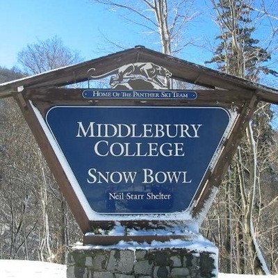
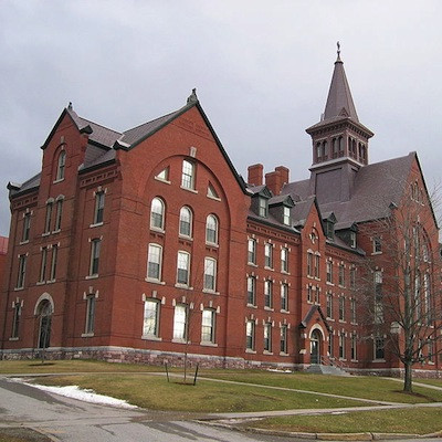
Related Slideshow: Best Ski + Snowboard Colleges in the East
.png)


_80_80_c1.png)


Related Articles
- The Skiing Weatherman Conditions Report: Jan 1 - Jan 5
- The Skiing Weatherman Conditions Report: Jan. 9-Jan. 12
- Introducing Herb Stevens, GoLocalProv’s Skiing Weatherman
- The Skiing Weatherman Conditions Report: January 16-19
- Skiing Weatherman Conditions Report: December 19-22
- Skiing Weatherman Conditions Report: December 26-30
- The Skiing Weatherman Conditions Report: December 19-22
- The Skiing Weatherman Conditions Report: December 26-30
- The Skiing Weatherman Conditions Report: Jan 1 - Jan 5
