
NEW: More Winter Weather May Impact Monday Morning Commute
Sunday, February 09, 2014
Snowfall in Southern New England may reach accumulations of up to 3 inches overnight Sunday into Monday.

While this is hardly the biggest storm of the year--or even week--the weather is likely to affect Monday morning's commute for much of the region.
From the National Weather Service:
GET THE LATEST BREAKING NEWS HERE -- SIGN UP FOR GOLOCAL FREE DAILY EBLAST
SPECIAL WEATHER STATEMENT
NATIONAL WEATHER SERVICE TAUNTON MA
430 PM EST SUN FEB 9 2014
CTZ002>004-MAZ002>005-008>013-017-018-020-021-023-024-026-NHZ011-
012-015-RIZ001>008-100500-
HARTFORD CT-TOLLAND CT-WINDHAM CT-WESTERN FRANKLIN MA-
EASTERN FRANKLIN MA-NORTHERN WORCESTER MA-CENTRAL MIDDLESEX MA-
WESTERN HAMPSHIRE MA-WESTERN HAMPDEN MA-EASTERN HAMPSHIRE MA-
EASTERN HAMPDEN MA-SOUTHERN WORCESTER MA-WESTERN NORFOLK MA-
NORTHERN BRISTOL MA-WESTERN PLYMOUTH MA-SOUTHERN BRISTOL MA-
SOUTHERN PLYMOUTH MA-DUKES MA-NANTUCKET MA-NORTHERN MIDDLESEX MA-
CHESHIRE NH-EASTERN HILLSBOROUGH NH-
WESTERN AND CENTRAL HILLSBOROUGH NH-NORTHWEST PROVIDENCE RI-
SOUTHEAST PROVIDENCE RI-WESTERN KENT RI-EASTERN KENT RI-
BRISTOL RI-WASHINGTON RI-NEWPORT RI-BLOCK ISLAND RI-
INCLUDING THE CITIES OF...HARTFORD...WINDSOR LOCKS...UNION...
VERNON...PUTNAM...WILLIMANTIC...CHARLEMONT...GREENFIELD...
ORANGE...BARRE...FITCHBURG...FRAMINGHAM...LOWELL...CHESTERFIELD...
BLANDFORD...AMHERST...NORTHAMPTON...SPRINGFIELD...MILFORD...
WORCESTER...FOXBORO...NORWOOD...TAUNTON...BROCKTON...FALL RIVER...
NEW BEDFORD...MATTAPOISETT...VINEYARD HAVEN...NANTUCKET...AYER...
JAFFREY...KEENE...MANCHESTER...NASHUA...PETERBOROUGH...WEARE...
FOSTER...SMITHFIELD...PROVIDENCE...WEST GREENWICH...WARWICK...
BRISTOL...NARRAGANSETT...WESTERLY...NEWPORT...BLOCK ISLAND
430 PM EST SUN FEB 9 2014
...LIGHT SNOWFALL MAY LEAD TO SOME SLIPPERY CONDITIONS TONIGHT...
SOME LIGHT SNOWFALL IS EXPECTED TO DEVELOP THIS EVENING AND
CONTINUE INTO THE EARLY MORNING HOURS. ALTHOUGH SNOWFALL RATES
WILL BE RELATIVELY LOW...AND FINAL TOTALS WILL ONLY BE A COATING
TO ABOUT 2 INCHES IN MOST PLACES...CONDITIONS MAY BECOME SLIPPERY AT TIMES. THE BULK OF THE SNOW WILL BE FINISHED BY THE TIME OF THE MONDAY MORNING COMMUTE.
Hazardous Weather Outlook
HAZARDOUS WEATHER OUTLOOK
NATIONAL WEATHER SERVICE TAUNTON MA
426 PM EST SUN FEB 9 2014
CTZ002>004-MAZ002>024-026-NHZ011-012-015-RIZ001>008-102130-
HARTFORD CT-TOLLAND CT-WINDHAM CT-WESTERN FRANKLIN MA-
EASTERN FRANKLIN MA-NORTHERN WORCESTER MA-CENTRAL MIDDLESEX MA-
WESTERN ESSEX MA-EASTERN ESSEX MA-WESTERN HAMPSHIRE MA-
WESTERN HAMPDEN MA-EASTERN HAMPSHIRE MA-EASTERN HAMPDEN MA-
SOUTHERN WORCESTER MA-WESTERN NORFOLK MA-SOUTHEAST MIDDLESEX MA-
SUFFOLK MA-EASTERN NORFOLK MA-NORTHERN BRISTOL MA-
WESTERN PLYMOUTH MA-EASTERN PLYMOUTH MA-SOUTHERN BRISTOL MA-
SOUTHERN PLYMOUTH MA-BARNSTABLE MA-DUKES MA-NANTUCKET MA-
NORTHERN MIDDLESEX MA-CHESHIRE NH-EASTERN HILLSBOROUGH NH-
WESTERN AND CENTRAL HILLSBOROUGH NH-NORTHWEST PROVIDENCE RI-
SOUTHEAST PROVIDENCE RI-WESTERN KENT RI-EASTERN KENT RI-BRISTOL RI-
WASHINGTON RI-NEWPORT RI-BLOCK ISLAND RI-
426 PM EST SUN FEB 9 2014
THIS HAZARDOUS WEATHER OUTLOOK IS FOR NORTHERN
CONNECTICUT...CENTRAL MASSACHUSETTS...EASTERN
MASSACHUSETTS...NORTHEASTERN MASSACHUSETTS...SOUTHEASTERN
MASSACHUSETTS...WESTERN MASSACHUSETTS...SOUTHERN NEW
HAMPSHIRE...NORTHERN RHODE ISLAND AND SOUTHERN RHODE ISLAND.
.DAY ONE...TONIGHT.
1 TO 2 INCHES OF SNOW IS EXPECTED ACROSS THE REGION THIS
EVENING AND TONIGHT. THERE IS A LOW PROBABILITY OF 3 INCH AMOUNTS ALONG PORTIONS OF THE EASTERN MASSACHUSETTS COAST.
.DAYS TWO THROUGH SEVEN...MONDAY THROUGH SATURDAY.
A COASTAL STORM MAY BRING MAINLY RAIN OR ACCUMULATING SNOW TO THE REGION LATE WEDNESDAY NIGHT AND THURSDAY. PRECIPITATION TYPE WILL BE DETERMINED BY THE EXACT TRACK OF THE STORM...WHICH REMAINS HIGHLY UNCERTAIN AT THIS POINT.
.SPOTTER INFORMATION STATEMENT...
SPOTTER ACTIVATION IS NOT EXPECTED AT THIS TIME.
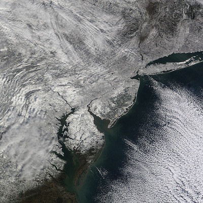
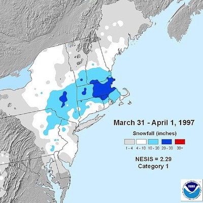
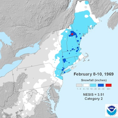
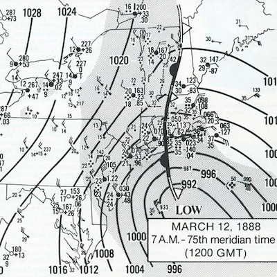
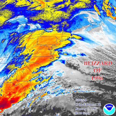
Related Slideshow: Top 10 Blizzards in RI History

.png)

Related Articles
- NEW: Weekend Storm Heading For RI—More Snow Possible
- SUNDAY WEATHER UPDATE: Snow Tapering in RI, Biting Winds
- 14 Great Snow Tubing Spots in New England
- Organize + Energize: The Snowball Effect of Clutter
- AM WEATHER UPDATE: Blizzard May Bring Up to 3 Feet of Snow
- Providence Financial Giant Staggers Under Snowden Suits Fallout
- AM WEATHER UDPATE: The Blizzard of ‘13 Not Over—Prepare For More Snow
- NEW: Weekend Storm Intensifying, Could Bring More Snow To RI
- College Admissions: Best Ski + Snowboard Colleges in the West
- College Admissions: Best Ski + Snowboard Colleges in the West
- College Admissions: Best Ski + Snowboard Colleges in the East
- Storm Update: Mix of Sleet + Snow to Continue Through Afternoon
- Newport Manners + Etiquette: Snow Shoveling Etiquette + More
- NEW: Weekend Storm Hitting RI Saturday Afternoon—Mixed Snow/Rain
